
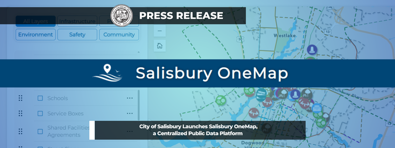
SALISBURY, Md. – The City of Salisbury’s Data Services Department has launched Salisbury OneMap, a new public platform that brings City data into one place for residents, businesses and staff.
OneMap is part of a broader effort to centralize access to City data. The Data Services Department currently supports over 20 separate applications; each built for a specific purpose. As those tools have grown more specialized, it has become harder for users to know which one holds the information they need. OneMap was built to solve that problem, letting users view and combine datasets that used to live in separate applications, all in one user friendly tool.
For everyday users, the most useful feature is the Salisbury Snapshot. Search an address and instantly pull up a high-level view of relevant City information, including zoning, opportunity zones, election information and trash day. For more advanced users, any map layer can be toggled on or off to explore, analyze, print or download.
The Data Services team takes pride in building and maintaining the tools that allow all City departments to keep their data relevant and up to date. OneMap is a great place to showcase their work. It also leaves room for expansion as the City’s needs and data continue to grow.
This past spring, Salisbury OneMap received the Map App Award at the Delmarva GIS Conference, selected from a field of ten entries. The recognition follows a 2024 award for the Salisbury Zoo Map application, also developed through the City’s GIS program.
Senior Data Analyst Kyla Cupp developed Salisbury OneMap as part of the City’s ongoing work to consolidate City data into accessible tools.
“Once tools get too niche, they start to lose value because users don’t know which one will actually answer their question,” Cupp said. “We wanted to build something that was as comprehensive as it was easy to use. OneMap to rule them all.”
Residents, businesses and visitors are encouraged to explore Salisbury OneMap at https://www.salisbury.md/onemap
The City of Salisbury thanks its Data Services and GIS staff for their continued work supporting data and mapping services used throughout the organization.
###